Solutions
By Company Size
Enterprise
Teams
Solo Professionals
By Industry
Mining & Resources
Construction
Utilities
Power Distributors
Facilities & Maintenance
Government
Consulting
Insurance
Drone Services
By Use Case
Centrally Manage Data
Make Maps for Anything
Inspect Assets, Buildings and Infrastructure
Scale Operations with Geospatial Data
Manage Reports & Records
Need Something Else?
GeoAI
Features
Pricing
Resources
Blog
Case Studies
Help Articles
Login
Book a Demo
Geospatial in Practice
Blog
Geospatial in Practice
Geospatial in Practice
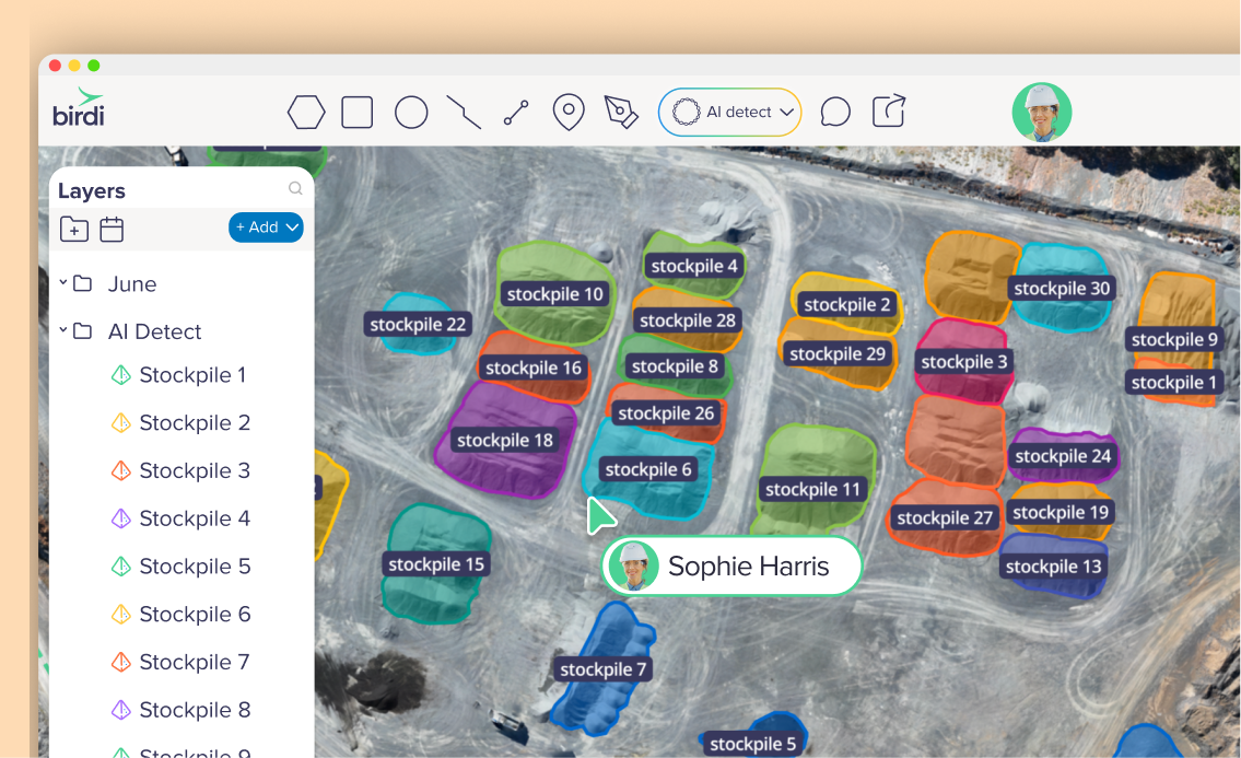
How to reconcile stockpile volumes: A step-by-step guide for mine and quarry operators
Geospatial in Practice
Point cloud vs. textured mesh: When to use each for 3D site modeling
Geospatial in Practice
Drone mapping 101: A beginner’s guide to capturing accurate geospatial data
Geospatial in Practice
Getting started with GIS: A beginner's guide to geographic information systems
Geospatial in Practice
Why is my orthomosaic low quality (and how do I fix it)?
Geospatial in Practice
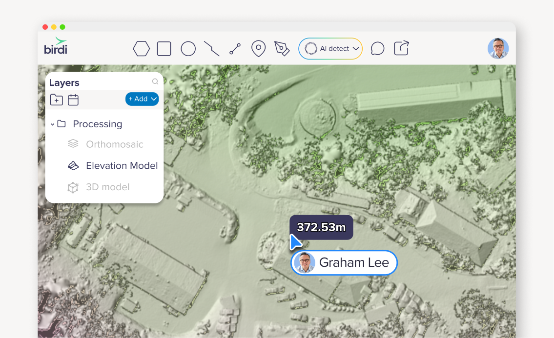
What is a digital elevation model (DEM)?
Geospatial in Practice
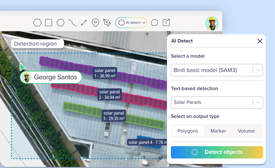
What is geospatial AI (GeoAI)?
Geospatial in Practice
Introduction to geospatial technology: A beginner's guide
Geospatial in Practice
The role of ground control points in accurate volumetric reporting
Geospatial in Practice
Measuring stockpile volumes with shared insight and AI detection
Geospatial in Practice
Basemaps vs orthomosaic maps: what’s the difference (and why it matters)
Geospatial in Practice
Making sense of GIS data: A practical guide for teams
Geospatial in Practice
What is a Coordinate Reference System (CRS) — and why does it matter for mapping?
Geospatial in Practice
2D & 3D photogrammetry outputs explained (ideal for beginners!)
Geospatial in Practice
DTM vs DSM: What’s the difference and when should you use each?
Geospatial in Practice
What is an orthomosaic map?
Geospatial in Practice
How to optimize drone flight planning for mapping and surveying
Geospatial in Practice
Geospatial vs remote sensing: What’s the difference?
Geospatial in Practice
Photogrammetry vs. LiDAR: What’s the difference?
Geospatial in Practice
How do Ground Control Points (GCPs) improve accuracy in drone mapping?
Geospatial in Practice
How georeferencing and metadata make maps accurate
Geospatial in Practice
Unlocking deeper geospatial insights with 3D visualization
Geospatial in Practice
Enhancing geospatial analysis with basemap layers and WMS/WMTS links
Geospatial in Practice
Measuring stockpile volumes made easy: A guide to volumetric reporting
Geospatial in Practice
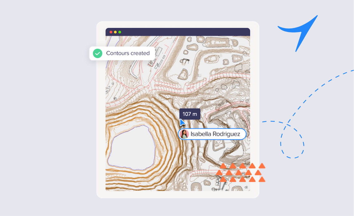
A guide to understanding contour lines and their uses
Geospatial in Practice
How 360-degree photo visualization can improve geospatial understanding
Geospatial in Practice
The basics of Earth Observation: From satellites to drones
Geospatial in Practice
An easy glossary of geospatial and GIS terms
Geospatial in Practice
How accurate is drone data? Breaking down geospatial precision
Geospatial in Practice
The best drones for mapping in 2024
Geospatial in Practice
What are output coordinate systems in GIS?
Geospatial in Practice
Georeferencing: How devices (including smartphones) turn images into GIS data
Geospatial in Practice
Understanding raster and vector geospatial data
Geospatial in Practice
Enhancing tailings dam safety through geospatial data and prism monitoring
Geospatial in Practice
Understanding point clouds: a key element in 3D modeling
Geospatial in Practice
Drone mapping 101: A beginner's guide to aerial mapping
Geospatial in Practice
Best practices for 3D modeling with drones
Geospatial in Practice
Unlocking the power of GCPs, Levels, and Checkpoints for high-precision aerial imagery with drones
Geospatial in Practice
PPK, GPS and RTK geotagging in drone aerial imagery
Geospatial in Practice
How to use drones and photogrammetry for creating digital twins
Geospatial in Practice
What are fast and affordable types of digital photogrammetry?
Geospatial in Practice
The game-changing benefits of drone mapping and inspections
Geospatial in Practice
Drone tech - Common use cases for aerial imagery in enterprise business
Geospatial in Practice
What is aerial imagery? Definition and sources
Geospatial in Practice
Drone tech review: which drones are best for your drone business?
Geospatial in Practice
Flying a drone for your organization? Understand the basics


.png)


.png)