
What is LiDAR and how does it compare to photogrammetry?

TL;DR: LiDAR is a remote sensing method that fires laser pulses and measures their return time to calculate precise distances, producing dense 3D point clouds even through vegetation. Photogrammetry instead reconstructs 3D surfaces by triangulating matching points across overlapping photos. LiDAR wins on penetrating canopy and complex terrain; photogrammetry wins on cost, accessibility, and photorealistic detail.
Key takeaways:
- LiDAR (Light Detection and Ranging) measures distance by timing the return of laser pulses, achieving vertical accuracy as fine as 10 cm at the regional survey scale and 1–3 cm for drone-based surveys.
- Photogrammetry derives 3D geometry from overlapping RGB images and can match or slightly exceed drone LiDAR accuracy (1–3 cm) on open, well-textured terrain.
- In dense vegetation, LiDAR significantly outperforms photogrammetry for canopy height and bare-earth accuracy — studies show LiDAR canopy height error (RMSE 0.19–0.21 m) versus photogrammetry (RMSE 0.52–0.60 m).
- LiDAR equipment and processing typically cost more; photogrammetry only requires a standard drone camera, making it the more accessible entry point for most teams.
- Many organizations combine both: LiDAR for accurate bare-earth terrain, photogrammetry for the visual, textured layer stakeholders actually want to look at.
What is LiDAR?
LiDAR stands for Light Detection and Ranging. A LiDAR sensor — mounted on a drone, aircraft, vehicle, or tripod — fires rapid pulses of laser light at the ground and surrounding surfaces. Each pulse bounces back to the sensor, and the system calculates distance from the time it took the light to return (time-of-flight). Fire enough pulses from enough angles and you get a dense "point cloud": a 3D collection of individually measured points representing everything the laser hit, from tree canopy down to bare ground.
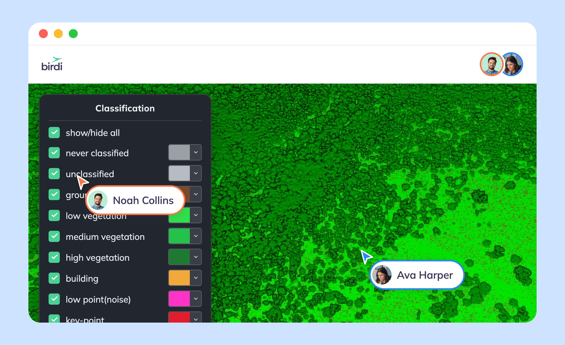
Because laser pulses can slip through small gaps in vegetation, a single LiDAR pass typically returns multiple "returns" per pulse — one bouncing off the top of the canopy, another off a branch, another off the ground underneath. That's what makes LiDAR the standard choice for accurate terrain mapping in forested or vegetated sites, where a camera simply can't see through the cover.
The U.S. Geological Survey's 3D Elevation Program uses exactly this approach to build its national elevation datasets, targeting a vertical accuracy of about 10 cm across the country (1). Point classification in LiDAR data — separating "ground" returns from "vegetation" or "building" returns — follows standards set by the American Society for Photogrammetry and Remote Sensing (ASPRS), which also defines the LAS file format most LiDAR datasets are delivered in (2).
What is photogrammetry?
Photogrammetry takes a different route to the same destination: a 3D model. Instead of a laser, it uses overlapping photographs, usually captured by a drone flying a grid pattern over a site with 70–80% image overlap. Processing software identifies pixels that appear in multiple photos, matches them across the image set, and triangulates the camera's position for each shot. From there it reconstructs the shape, size, and position of everything in the frame — generating outputs like orthomosaics, textured 3D models, digital surface models (DSMs), and point clouds.
Because photogrammetry works from ordinary color images, its outputs look like the real site — full color, photorealistic, easy for a non-technical stakeholder to interpret at a glance. That's a meaningful advantage over LiDAR's point clouds, which by default carry only intensity values (grayscale-like return strength) rather than true color, unless the LiDAR data is later fused with camera imagery.
Learn more: What is photogrammetry? How aerial images become maps and 3D models
The accuracy numbers are close enough on flat, open, well-lit terrain that the choice often comes down to what's under the canopy, not raw precision. A 2025 comparative study on UAV-based terrain modeling found that once a vegetation filter is applied, both methods can reach sub-20 cm RMSE for bare-earth models, and earthwork volume accuracy for both approaches landed within about 1% of ground truth (100.3–100.9%) (3). But for canopy height specifically — a common need in vegetation management and forestry — LiDAR's advantage was large: RMSE of 0.19–0.21 m versus 0.52–0.60 m for photogrammetry (4).
Which one should you use?
A few questions tend to settle it:
Is the ground covered by vegetation, tree canopy, or complex terrain? If yes, LiDAR is usually worth the extra cost — it's the only practical way to get an accurate bare-earth model without clearing the site first.
Do stakeholders need to visually recognize the site — assets, stockpiles, damage, progress? Photogrammetry's photorealistic output is easier for non-GIS team members to interpret at a glance, which matters when a report is going to a client, a site manager, or an inspector rather than a GIS specialist.
What's the budget and equipment on hand? Photogrammetry only needs a capable drone camera, which most teams already have. LiDAR sensors — and the processing workflows behind them — cost significantly more, which is why many teams reach for LiDAR selectively (specific vegetated sites, corridor surveys) rather than as a default.
It's also worth remembering these aren't mutually exclusive. A common workflow is to fly LiDAR for an accurate terrain surface, then drape photogrammetry-derived imagery over the top — getting both the elevation accuracy and the visual context in one deliverable.
Learn more: Understanding point clouds: a key element in 3D modeling and Point cloud vs. textured mesh: when to use each for 3D site modeling
Where a platform like Birdi fits in
Once the data is captured — by LiDAR, photogrammetry, or both — the harder problem for most teams is getting it in front of the people who need to act on it. Platforms like Birdi focus on helping teams upload that imagery, point cloud, or mesh data and get everyone, technical or not, looking at the same live map without training the whole team on GIS software.
That said, a platform like Birdi is a sensible option for teams that need broad visibility, annotation, and reporting across a site — it's less suited to teams whose core need is heavy point cloud classification, meshing, or registration work from scratch, which is better handled by dedicated processing software built for that job.
Sources
- U.S. Geological Survey, "What is Lidar data and where can I download it?"
- American Society for Photogrammetry and Remote Sensing, Lidar Base Specification standards referenced by USGS
- Comparative Assessment of Vegetation Removal for DTM Generation and Earthwork Volume Estimation Using RTK-UAV Photogrammetry and LiDAR Mapping, Drones journal (MDPI), doi.org/10.3390/drones10010030
- Comparison of UAV-based LiDAR and digital aerial photogrammetry for measuring crown-level canopy height in the urban environment, ScienceDirect (Urban Forestry & Urban Greening), sciencedirect.com