
Reduce survey costs in construction with drone-based mapping


Construction projects run on tight budgets and even tighter timelines. Every hour spent on manual site surveys and progress reports is an hour taken away from actually moving the project forward. That’s where drone-based mapping comes in — helping teams cut survey costs while boosting accuracy and collaboration.
The problem with traditional construction surveys
On large construction sites, progress tracking often relies on manual site walks or ground-based survey methods like total stations. These approaches can be slow, labor-intensive, and difficult to scale. Common challenges include:
- Manual site walks: Crews spend hours on foot collecting data.
- Surveyor availability: Hiring survey teams adds cost and scheduling delays.
- Communication gaps: By the time survey data makes it into a report, conditions on the ground may have already changed.
All of this adds up to higher costs, slower reporting, and more room for disputes.
How drone mapping changes the equation
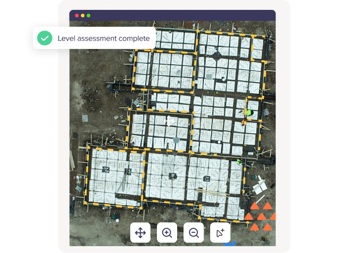
Drones equipped with high-resolution cameras can capture a construction site in minutes, producing accurate maps and 3D models once the data is processed in Birdi. The advantages stack up quickly:
- Faster data capture: Cover large areas in a fraction of the time.
- Lower labor costs: Reduce reliance on manual survey teams for routine checks.
- Improved accuracy: Orthomosaics and digital elevation models provide precise measurements for cut/fill analysis, stockpiles, or earthworks.
- Better collaboration: Teams can view and annotate maps directly in Birdi, ensuring everyone has the same up-to-date information.
The result? Less time (and money) spent on surveys, and more confidence in your project data.
Real-world example: Mirvac saves 32 hours per site per month
"Birdi gives us up-to-date oversight of our construction progress, without needing to manually visit our sites. We know where everything is up to right from the office, giving us the insights we need to keep our projects on track."

Kase Jong
Regional Operations Manager
Mirvac
A great example of this in action comes from Mirvac. The team was spending days pulling together progress reports across multiple construction sites. By moving to drone-based mapping and using Birdi for visualization and reporting, they:
- Saved 32 hours per site, per month on reporting tasks.
- Reduced the need for manual site walks.
- Gave project managers and stakeholders a clear, visual record of site progress.
.png)
That kind of time saving doesn’t just improve efficiency, it directly cuts costs across labor, survey services, and rework avoidance.
Where the biggest savings show up
Drone mapping in construction delivers cost benefits in several areas:
- Progress tracking: Replace time-consuming manual checks with up-to-date aerial maps.
- Stockpile volumes: Quickly calculate material quantities without manual surveys. (Birdi's volumetric annotation tool enables you to measure stockpile volumes simply - see video below)
- Earthworks monitoring: Spot over- or under-excavation early to avoid expensive corrections.
- Safety improvements: Limit the need for staff in hazardous areas, lowering risk and insurance exposure.
Read more: ROI: Harnessing drones and photogrammetry for progress reporting
__
Cutting survey costs in construction doesn’t always mean doing less; sometimes it means doing things smarter. Drone-based mapping with Birdi makes it possible to collect better data, faster, while reducing labor and reporting overhead.
If companies like Mirvac are already saving 32 hours per site every month, imagine what that could mean for your next project.