.png)


A unified workspace for everyone
Birdi is built for busy teams from the ground to the desk.
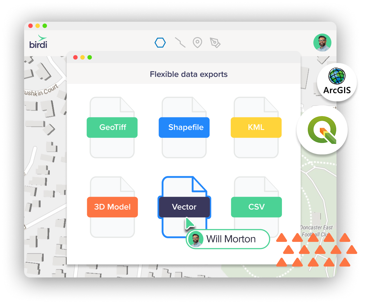
Upload anything
Bring in imagery, vectors, point clouds, 3D data, and more—Birdi can visualize it all.
Learn more


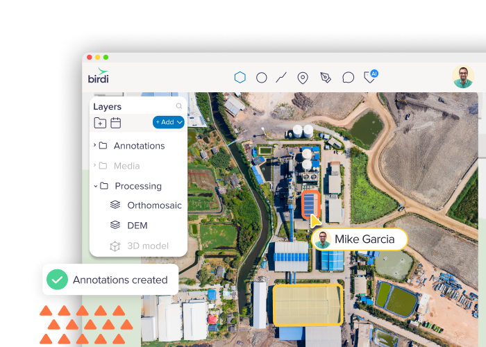
Data processing
Generate orthomosaics, DEMs, meshes, and more—fast, accurate, and all in one place.
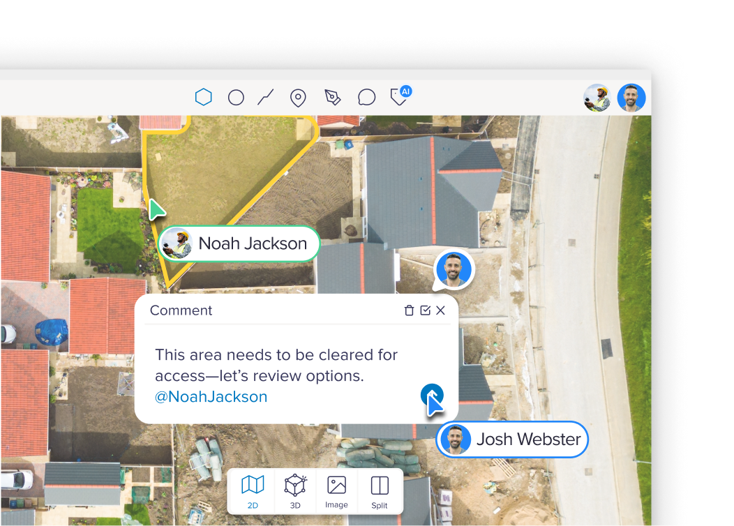
Annotation tools
Draw, measure, and mark up maps with geo-referenced annotations ready for export.
Reports
Generate reports from your maps for inspections, insights and compliance.
Timeline
Step through your data over time with an interactive timeline that make changes easy to see.
Volumetric
Calculate and export volumes from elevation models and point clouds quickly and accurately.
AI tools
Add custom tags and labels to organize and highlight important features.