Bridge the gap between data and decision-makers.

.png)
.png)
.png)


Built for large enterprises and complex operations
Birdi gives your organization one place to bring it all together—your data, your people, and your spatial insights.

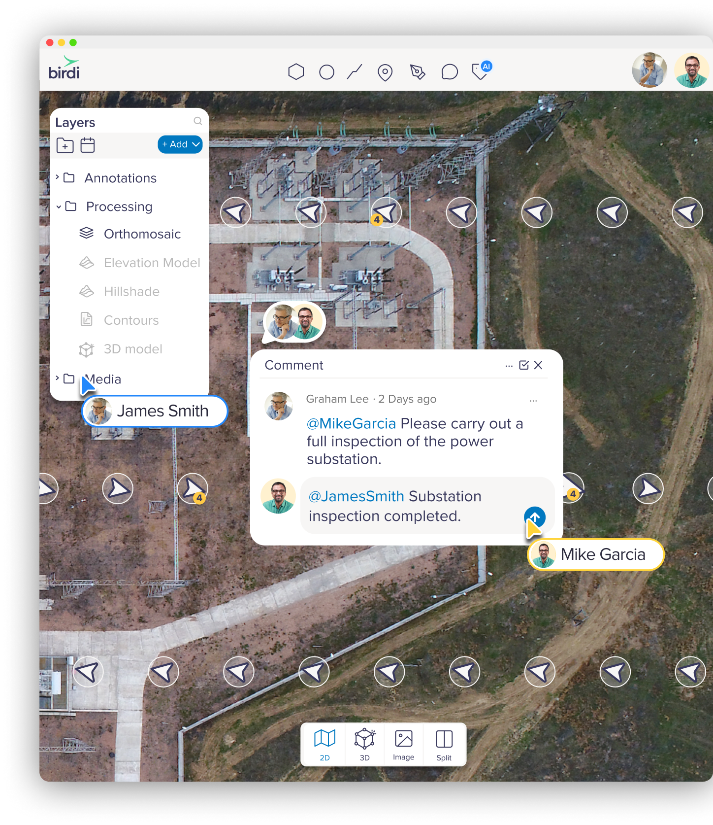
Work better together, across roles and departments
When GIS teams, asset managers, and field staff can all view and interact with the same map, decisions happen faster— and with less back and forth.

No extra software. No versioning headaches. Just one shared view of the truth.
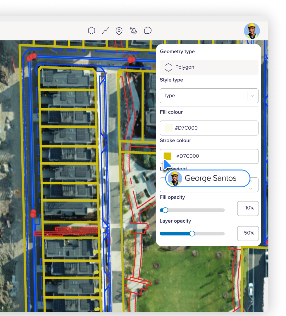
Handle complex data without the complexity
Birdi works with the formats your teams already use, while making it easy for everyone to access, understand, and act on the data.

Smarter tools to help your team move faster
From AI-powered image segmentation to automated reporting, Birdi shortens the path from raw imagery to ready-to-share insight—helping your team see, label, and act on what matters, faster.
Built to work alongside your GIS tools —not replace them
Birdi works as the central space between advanced platforms like ArcGIS or QGIS and the rest of your team.
Turning GIS outputs into shared insights that project managers, engineers, and decision-makers can easily access and act on — no specialist tools required.

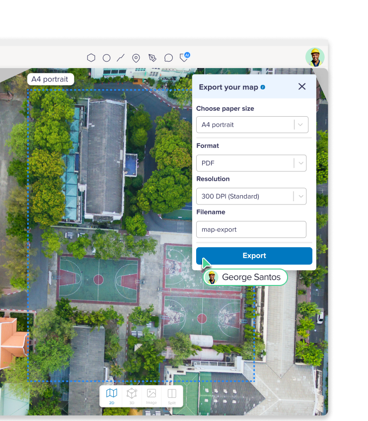
From data to decisions
Transform enterprise-scale geospatial data into reliable, audit-ready insights and shareable outputs inside Birdi.
Case studies
Birdi helps enterprise teams solve complex geospatial workflows.


Senior Associate

Large educational provider

Senior Associate
Protect your data with advanced security