
Make maps for anything
.png)
Trusted by top teams

.png)
.png)
.png)





Create, view, and share geospatial maps in one collaborative mapping platform.
Birdi makes it easy to turn your data into rich, interactive maps for any purpose. Whether you’re mapping a construction site, monitoring environmental change, or tracking assets across locations, Birdi gives you a single platform to see it all.
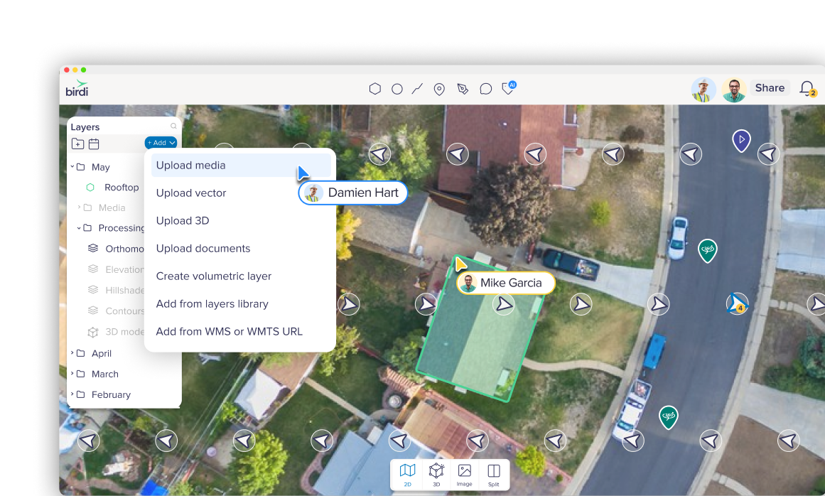
Upload your own images or processed layers
Upload drone or aerial photos, 360° captures, or ground-based imagery. Birdi processes your raw files into accurate 2D maps and 3D models. You can even bring in your own datasets, vectors, or publicly available maps for full context.
Upload already processed geotiffs, DEMs or 3D files
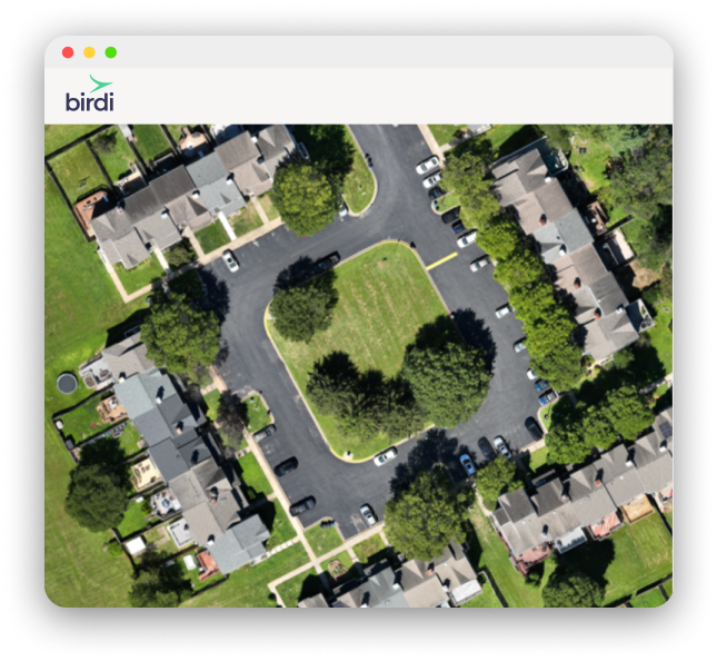
Upload raw data from devices such as Drone, Smartphone, DSLR camera, 360° camera (GoPro, Insta360, etc.), Video’s or Handheld or ground-based device

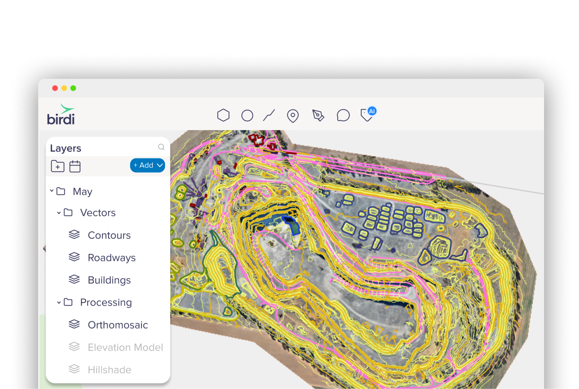
Upload vector layers like shapefiles, KMLs, or GeoJSON
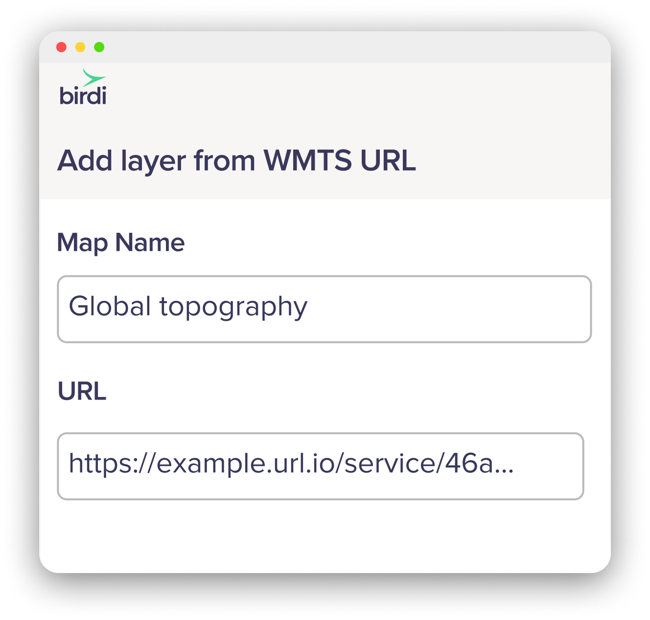
Overlay WMTS links from government or open data sources
Generate orthomosaics, elevation models, point clouds and more...
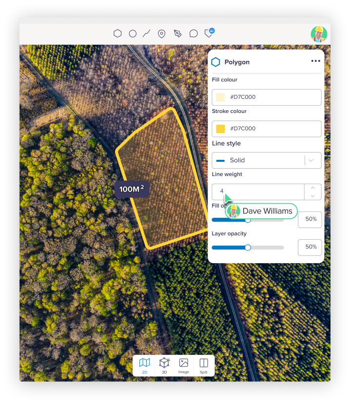
Once uploaded, Birdi’s cloud processing turns your imagery into accurate, ready-to-use maps, 3D models, and measurements. Each dataset is processed into high-quality geospatial outputs ready for viewing, analysis, and export:
Key outputs

What maps can I make?
Whether you're tracking construction progress, measuring stockpiles, or planning new infrastructure, Birdi gives you the tools to make accurate, shareable maps for any project.
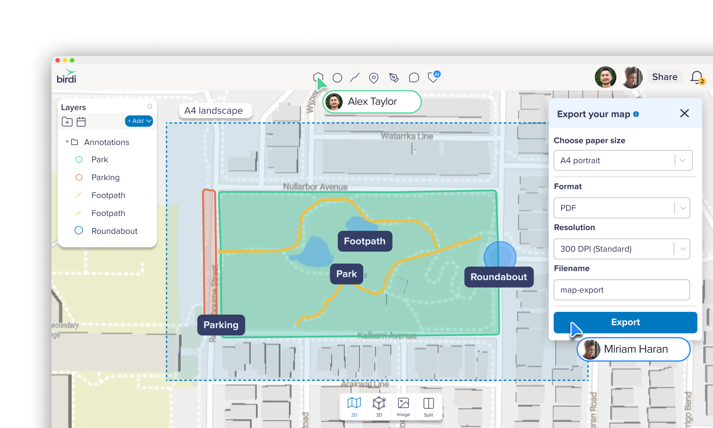
Visualize
Upload and preview all your ground or aerial imagery, 360s, and videos—organized, secure, and ready to work with.
Annotate
Analyze with tools to tag or measure distance, area, and volume.
Compare
Compare data over time with split-screen and timeline views.
Share
Share securely with teammates or clients — no software installs needed.
Style
Style your layers to create maps that stand out.
Export
Export PDF reports and layers in formats like GeoTIFF, LAS, DXF, or shapefile for use in CAD or GIS tools.

Next-level customer support
At Birdi, support isn’t an afterthought, it’s part of the product. Gone are the days you need to trawl through help docs alone or wait days for an email response. We’re right there on chat, ready to help.
Frequently asked questions

What is GIS mapping software?

GIS mapping software lets you upload, process, and visualize location-based data — like drone imagery, aerial photos, or ground captures — to create maps, 3D models, and reports.
Can I make maps from drone or aerial data?
Yes. Upload drone photos, aerial imagery, or 360° captures and Birdi processes them into orthomosaics, elevation models, and 3D models automatically.
Do I have to use a specific drone or flying app?
Nope. Birdi works with any drone and supports data from third-party flight apps or even manual captures. Just upload your imagery or sensor data and start processing—simple as that.
What file formats can I export?
Export to GeoTIFF, LAS, DXF, or shapefile for use in CAD or GIS tools like QGIS or ArcGIS.
Can my whole team collaborate on the same map?
Yes — comment, annotate, and share maps directly with teammates or clients, with no software installs required.