
Clark Construction Company streamlines collaboration across growing reality capture operations

The challenge
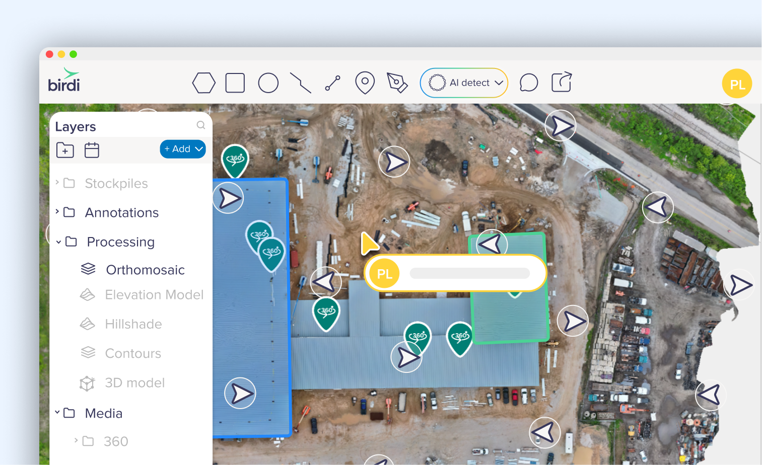
Clark Construction Company manages large-scale construction projects across multiple active sites, coordinating project teams and external stakeholders including owners, architects, engineers, and on-site crews. As their internal drone program expanded, the volume of reality capture data they were generating grew with it.
That data included drone imagery, orthomosaics, 360° walkthroughs, and Matterport scans. Capturing it got easier. Managing and sharing it did not.
Fragmented data across multiple tools
Each data type lived in a different system. Drone imagery sat on network drives. Matterport scans required their own interface. 360° walkthroughs were stored somewhere else entirely. For anyone trying to understand site conditions, that meant jumping between tools or digging through folders before they could get a clear picture.
It slowed people down and made it harder to present a coherent view of project progress to the people who needed it most.
Difficulty navigating site information
Clark relied on 360° video walkthroughs to document site progress. Reviewing them wasn't straightforward.
Because footage wasn't spatially organized, stakeholders had to manually search through long video files to find specific areas. That made progress reviews slower and limited how useful the data actually was.
Scaling a growing drone program
Their drone operations were expanding. They were already running approximately one mission per week across ten active sites, with plans to grow further.
Processing orthomosaics locally through WebODM was becoming a bottleneck. It required significant computing resources and slowed turnaround times. As the program scaled, the gap between what they were capturing and what they could effectively manage kept widening.
The solution
Clark Construction Company introduced Birdi as a collaborative geospatial workspace to bring their data, workflows, and stakeholders into one place.
Bringing all site data into a single environment
Instead of spreading data across multiple tools, the team could centralize everything in one workspace.
This included:
- Drone imagery and orthomosaics
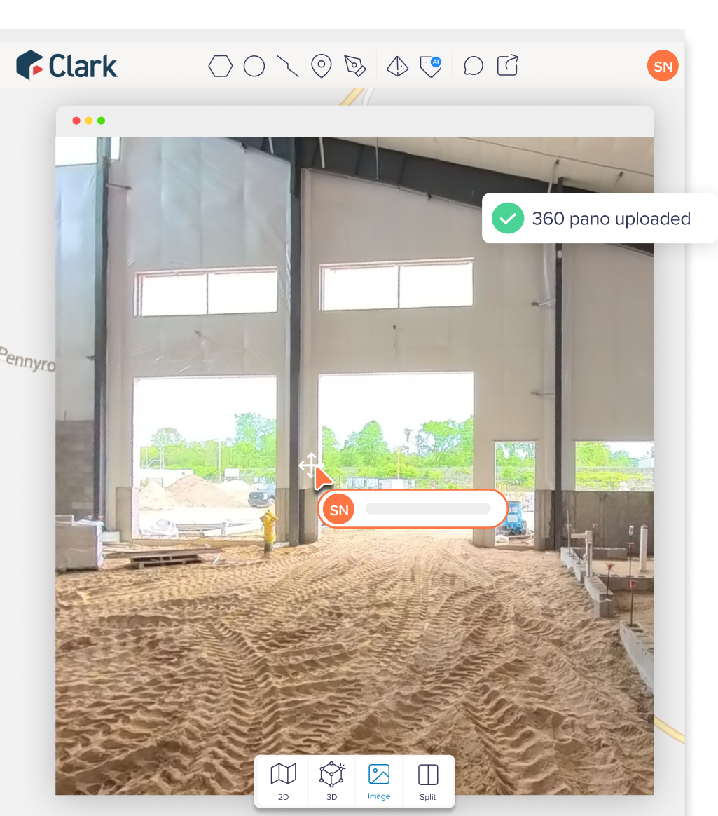
- 360° imagery and walkthroughs
- Ground photography
- Matterport scans and 3D models
- Vector overlays and design plans
Rather than sending files and links, teams could now open a single map-based environment and see everything in context.
“We were capturing good data on every site. The problem was getting it in front of the right people without making them dig for it. Birdi put everything in one place, and that changed how we work.”
– Luke Dehtiar, Precon Services Sustainability Leader, Clark Construction Company
Structuring projects for real collaboration
Birdi's workspace structure matched how Clark Construction Company is organized. A workspace represents a client or project portfolio, with individual sites organized within folders. Stakeholders are invited with the appropriate level of access.
That meant architects, engineers, and owners could all work from the same source of truth without data from different projects bleeding together.
Making progress easier to understand
With site data centralized, the focus shifted to making it easier to interpret.
Teams could use:
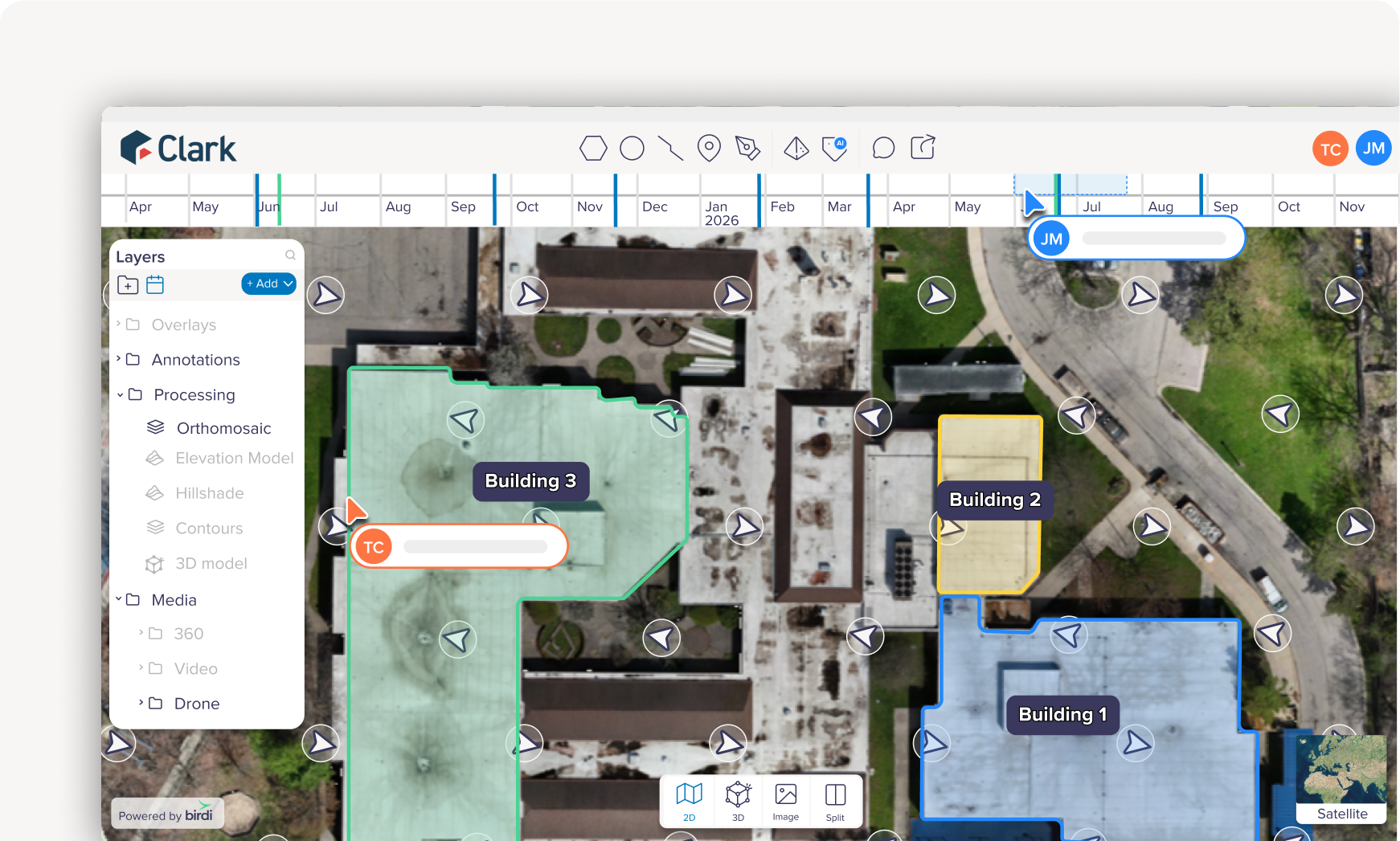
- Timeline views to track progress over time
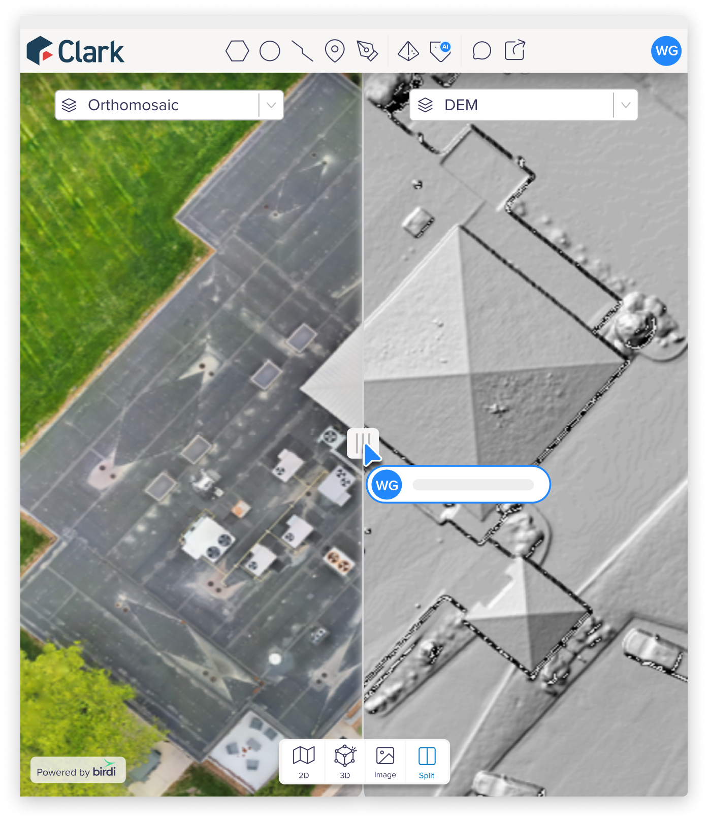
- Split-screen comparisons between capture dates
- Map-based annotations and measurements
Instead of reviewing files in isolation, stakeholders could visually understand what had changed on-site and where. This made progress updates more intuitive, even for non-technical users.
Replacing file sharing with a live workspace
Rather than sending folders or links, Clark Construction Company could now share access to a live, map-based workspace.
Stakeholders could:
- Navigate directly to areas of interest on the map
- View imagery in spatial context
- Comment and collaborate directly on the map
- Access updates without needing new file transfers
This created a smoother experience for everyone involved, especially external project teams who needed a simpler way to access and review site information.
Scaling processing with the cloud
To support their growing drone program, Clark also began processing drone imagery within Birdi rather than relying solely on local machines and WebODM workflows.
This allowed their team to:
- Process orthomosaics more efficiently
- Handle larger datasets as capture volumes increased
- Reduce reliance on high-performance local hardware
- Maintain more consistent turnaround times as operations scaled
The outcome
By moving to Birdi, Clark Construction Company shifted from a fragmented, file-based workflow to a more collaborative, connected way of working.
They now have:
- A single platform for managing imagery, site documentation, and spatial data
- A clearer way to present site progress to stakeholders
- More efficient workflows for inspections and reporting
- A scalable foundation for expanding their drone program
With site data, imagery, and progress updates now centralized in one workspace, Clark Construction Company can give project stakeholders a far clearer view of what’s happening on-site while supporting the continued growth of their reality capture operations.
Clark Construction Company is a Michigan-based construction manager serving public, institutional, and private clients across the state. Learn more at clarkcc.com.