Already using DroneDeploy?
We’ll make sure you never pay more with Birdi.
If your current DroneDeploy subscription is higher than our standard pricing, we’ll match it — and beat it by 10%.

.png)
If your current DroneDeploy subscription is higher than our standard pricing, we’ll match it — and beat it by 10%.

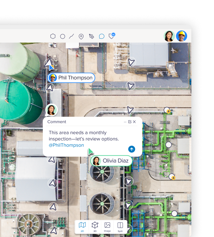
Upload imagery, point clouds, 3D data, or ground/lidar/video captures — Birdi processes it into orthomosaics, DEMs, meshes, and reports, then lets your team visualize, annotate, and compare it over time. All in the browser, no desktop software required.
Field teams, project managers, and clients can all view, comment, and share maps — no training or technical background needed. Public share links mean you can send a map to a stakeholder without them needing a login.

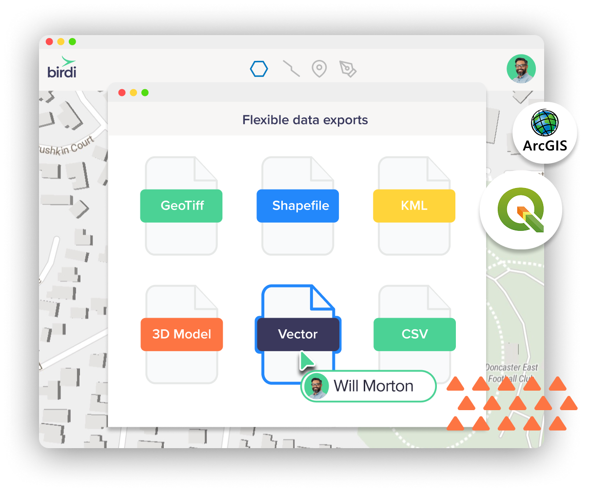
Capture with any drone, third-party flight app, or manual method. Export to GeoTIFF, SHP, DXF, KML, or GeoJSON to keep working in QGIS, ArcGIS, or your existing GIS stack.

At Birdi, support isn’t an afterthought—it’s part of the product. Gone are the days you need to trawl through help docs alone or wait days for an email response. We’re right there on chat, with US-friendly hours!


Birdi offers a flexible, user-friendly alternative with powerful geospatial tools built for collaboration. You’ll get similar core features — like orthomosaic processing, 3D visualization, and annotations — with a cleaner UI that's easy to use.
Yes! It’s easy — just export your data (orthomosaics, point clouds, shapefiles, etc.) from DroneDeploy and upload them to Birdi. We support standard formats and can help with migration if needed. Note: to upload 3D files, you’ll need a Growth plan.
Nope. Birdi works with any drone and supports data from third-party flight apps or even manual captures. Just upload your imagery or sensor data and start processing—simple as that.
Yes—collaborate in real time with team members. You can add annotations, comments, and share links to projects internally or externally with full access control.
Absolutely. Birdi is intuitive and built for users of all experience levels — so the whole team can explore, contribute, and stay aligned, not just the GIS team.
You can export in GeoTIFF, SHP, DXF, KML, and GeoJSON—making it easy to continue working in QGIS, ArcGIS, or other spatial tools.
Very easy. There’s no complicated setup—just sign up, upload your data, and go. Our team is also happy to help with onboarding or file migration.